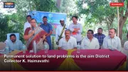
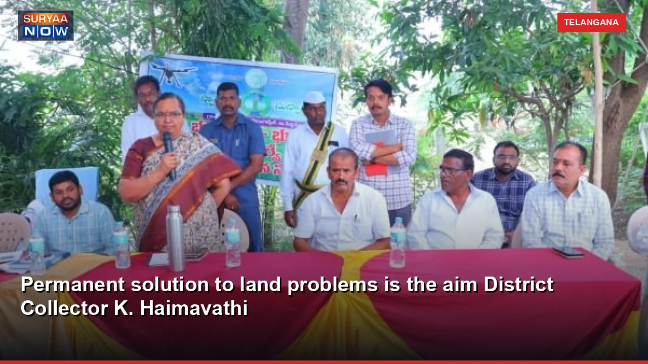
SuryaaNow Telangana Desk: Siddipet, : The state government has made the process of re-survey of Indian lands ambitious with the aim of providing a permanent solution to land problems transparent,... Siddipet, : District Collector K. Haimavati said that the process of re-survey of Indian lands, which has been ambitiously undertaken by the state government with the aim of providing a permanent solution to the land problems, is being carried out transparently and accurately. On Friday, she was the chief guest at an awareness program on land re-survey organized at Gram Panchayat office in Arepalli village of Gajwel mandal. On this occasion, the Collector said that as part of the re-survey of lands in the district, the survey will be completed in all 103 villages in the first and second phases. It was explained that small villages have been selected first and steps are being taken to solve the land problems there quickly. The main purpose of this program is to bring clarity in land records and prevent future disputes, he said.
The collector said that a re-survey will be carried out in 656 acres under Arepalli village of Gajwel Mandal. It was explained that after surveying government lands, government places and village boundaries, a survey of patta lands will be conducted. He said that during the survey process, the boundaries of each land were examined at the field level and steps were being taken to bring clarity based on the records. The collector revealed that advanced rover machines are being used in the re-survey of the lands. He said that with GPS-based technology and tracking systems, the boundaries of the lands are accurately identified and the survey is being conducted in a transparent manner. It is stated that through the use of technology, accuracy in land measurements will increase and land owners will get clarity on the boundaries of their lands. The Collector said that the survey is being conducted on about 35 to 40 acres daily with the help of surveyor, GPO and revenue records.
During the survey, the concerned landowners and farmers must be present at their lands and check the boundaries. He explained that if there are any objections or doubts regarding the boundaries, they should be brought to the notice of the concerned authorities and if necessary, the survey can be conducted once again as per the rules. The collector said that the government is working to solve the land problems in the villages and create a situation where disputes do not arise in the future. Land owners and farmers have appealed to the authorities to fully cooperate in achieving this goal. The officials were advised to take steps to make the people aware of the re-survey process and ensure clarity in the details of each land. AD Survey and Lands Sudarshan, Gajwel Tehsildar, village sarpanch, survey officers, public representatives, villagers and others participated in this program.